Laughlan-Inseln
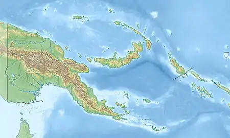
Die Laughlan-Inseln (Budibudi-Inseln, Laughlan Islands) sind eine aus neun Inseln bestehende melanesische Inselgruppe in der Salomonensee. Politisch gehören sie zur Gemeinde Murua Rural LLG (Local Level Government) Area im Samarai-Murua-Distrikt der Provinz Milne Bay im südöstlichen Teil Papua-Neuguineas. Die Laughlan-Inseln befinden sich 80 km östlich der Woodlark-Inseln und werden von diesen aus verwaltet.
| Laughlan-Inseln | ||
|---|---|---|
.JPG.webp) NASA-Sat.-Bild der Laughlan-Inseln | ||
| Gewässer | Salomonensee | |
| Geographische Lage | 9° 17′ S, 153° 40′ O | |
| ||
| Anzahl der Inseln | 9 | |
| Hauptinsel | Budelun | |
| Einwohner | 216 (2000) | |
Geographie
Allgemein
Die Inseln bilden eine hufeisenförmige Lagune, die sich nach Westen öffnet. Die größten Inseln sind Budelun und Wabomat. Die Bevölkerung betrug 216 zum Stichtag der Volkszählung 2000. Bewohnt ist nur die Hauptinsel Budelun. Das Dorf Budibudi erstreckt sich als schmales Band entlang der Westküste, die der Lagune zugewandt ist.
Tabelle der Inseln
Übersicht der Laughlan-Inseln:
![]() Karte mit allen Koordinaten: OSM | WikiMap
Karte mit allen Koordinaten: OSM | WikiMap
| Inselname | Alias | Koordinaten | Fläche (km²) |
|---|---|---|---|
| Wabomat | Wabola, Utani | 09° 16′ S, 153° 41′ O | ... |
| Budelun | Bodaluna | 09° 17′ S, 153° 41′ O | ... |
| Wasimu | Wasima | 09° 18′ S, 153° 39′ O | ... |
| Bukulan | 09° 18′ S, 153° 40′ O | ... | |
| Insel (unbenannt) | 09° 18′ S, 153° 40′ O | ... | |
| Insel (unbenannt) | 09° 18′ S, 153° 40′ O | ... | |
| Insel (unbenannt) | 09° 18′ S, 153° 41′ O | ... | |
| Insel (unbenannt) | 09° 17′ S, 153° 41′ O | ... | |
| Insel (unbenannt) | 09° 17′ S, 153° 40′ O | ... |
Geschichte
Der britische Kauffahrer David Laughlan entdeckte die Inseln am 16. August 1812 auf einer Reise mit seinem Schiff Mary von Port Jackson nach Bengalen.[1]
Wirtschaft
Kokosnüsse sind die Grundlage der Ernährung der ca. 300 Einwohner. Die von ihnen gehaltenen Schweine sind zahlreich und groß.[2] Die Menschen auf den Laughlan-Inseln betreiben Tauschhandel mit Kokosnüssen, Schweinen, Grasröcken, Schlafmatten und hochseetauglichen Kanus, die sie auf Woodlark gegen Sago und andere Lebensmittel eintauschen.
Sprache
Auf den Laughlan-Inseln wird Budibud gesprochen, eine Sprache, die mit Muyuw, das auf Woodlark gesprochen wird, zur Kilivila-Sprachgruppe gehört.[3] Die Inselgruppe bildet das nördliche Ende des Kula-Rings.
Einzelnachweise
- The Naval Chronicle: Containing a General and Biographical History of the Royal Navy of the United Kingdom With a Variety of Original Papers on Nautical Subjects J. Gold Publication, London 1814, S. 161
- J. K. Anang et al.: Food Situation in the Trobriand Group of Islands, Losuia District, Milne Bay Province. Alotau, Department of Milne Bay, 1988
- M. Paul Lewis (Hrsg.): Budibud, A language of Papua New Guinea Ethnologue: Languages of the World. SIL International, Dallas 2009
