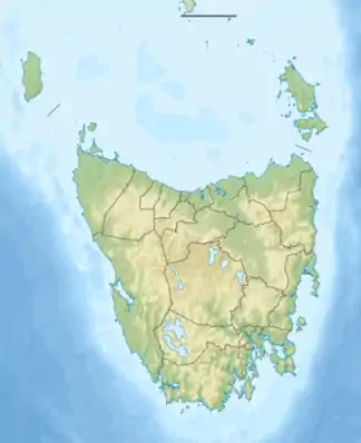
Lake Lea
Der Lake Lea ist ein See im Nordwesten des australischen Bundesstaates Tasmanien.
| Lake Lea | ||
|---|---|---|
| Geographische Lage | Tasmanien (Australien) | |
| Zuflüsse | etliche Bäche und Rinnsale | |
| Abfluss | River Lea | |
| Daten | ||
| Koordinaten | 41° 31′ 2″ S, 145° 55′ 1″ O | |
| ||
| Höhe über Meeresspiegel | 816 m | |
| Fläche | 1,5 km² | |
| Länge | 1,4 km | |
| Breite | 1,9 km | |
Er liegt an den Südosthängen der Black Bluff Range, ca. 10 km nördlich des Cradle-Mountain-Lake-St.-Clair-Nationalparks. In ihm entsteht der River Lea.
Quellen und Weblinks
- Lake Lea – TAS. ExplorOz.com
- Map of Lake Lea, TAS. Bonzle.com
- Steve Parish: Australian Touring Atlas. Steve Parish Publishing, Archerfield QLD 2007. ISBN 978-1-74193-232-4. S. 60
This article is issued from Wikipedia. The text is licensed under Creative Commons - Attribution - Sharealike. The authors of the article are listed here. Additional terms may apply for the media files, click on images to show image meta data.
