Kurub
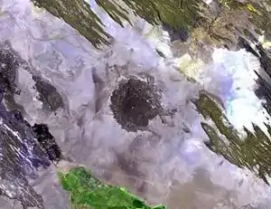
Der Kurub ist ein kleiner Schildvulkan aus dem Holozän in Äthiopien in der Sahaebene südöstlich des Manda Hararos. Er ist auch unter den Namen Kurub Koma, Curub oder Kurub Koba bekannt. Sein östlicher Lavafluss wurde mittels der Kalium-Argon-Methode auf ca. 300.000 Jahre datiert. Der Hauptkrater ist durch Winde mit Sand gefüllt. Das Gebiet um den Kurub ist von NNW-ausgerichteten Erdspalten durchzogen. In den 1930er Jahren wurde fumarolische Aktivität beobachtet.[1][2][3] Er befindet sich außerdem im sogenannten Tendaho-Feld.[4]
| Kurub | ||
|---|---|---|
 | ||
| Höhe | 625 m | |
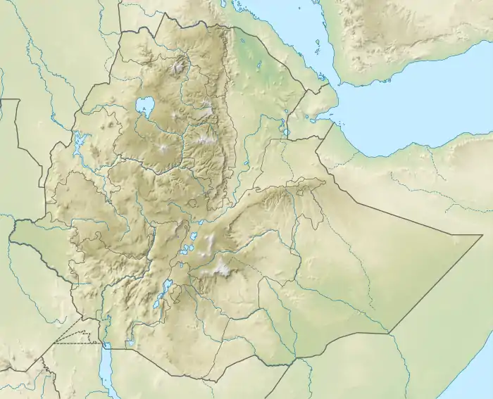
| Lage | Äthiopien | |
| Koordinaten | 11° 52′ 48″ N, 41° 12′ 29″ O | |
| ||
| Gestein | Trachyt und Basalt | |
Einzelnachweise
- Global Volcanism Program | Kurub. Abgerufen am 18. August 2019 (englisch).
- Pierre Lahitte, Pierre-Yves Gillot, Tesfaye Kidane, Vincent Courtillot, Abebe Bekele: New age constraints on the timing of volcanism in central Afar, in the presence of propagating rifts: TIMING CONSTRAINTS ON AFAR VOLCANISM. In: Journal of Geophysical Research: Solid Earth. Band 108, B2, Februar 2003, doi:10.1029/2001JB001689.
- Open-File Report. 2009, doi:10.3133/ofr20091133.
- Johannes Lemma: MAGNETOTELLURIC AND TRANSIENT ELECTROMAGNETIC METHODS IN GEOTHERMAL EXPLORATION, WITH AN EXAMPLE FROM TENDAHO GEOTHERMAL FIELD, ETHIOPIA. Hrsg.: GEOTHERMAL TRAINING PROGRAMME. Nr. 11. Reykjavik 2007.
This article is issued from Wikipedia. The text is licensed under Creative Commons - Attribution - Sharealike. The authors of the article are listed here. Additional terms may apply for the media files, click on images to show image meta data.