Kotis Point
Der Kotis Point (englisch; bulgarisch нос Котис nos Kotis) ist eine Landspitze an der Nordküste der Livingston-Insel im Archipel der Südlichen Shetlandinseln. Sie liegt 6,4 km südwestlich des Williams Point, 12,8 km ostnordöstlich des Siddons Point und markiert die südwestliche Begrenzung der Einfahrt zur Eliseyna Cove. Besonderes Merkmal ist ein Felsen nahe dem Ende der Landspitze.
| Kotis Point | ||
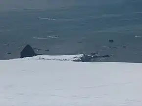 Blick vom Miziya Peak auf den Kotis Point | ||
| Geographische Lage | ||
| ||
| Koordinaten | 62° 30′ S, 60° 12′ W | |
| Lage | Livingston-Insel, Südliche Shetlandinseln | |
| Gewässer | Eliseyna Cove | |
| Gewässer 2 | Hero Bay | |

Bulgarische Wissenschaftler kartierten sie im Zuge der Vermessung der Tangra Mountains zwischen 2004 und 2005. Die bulgarische Kommission für Antarktische Geographische Namen benannte sie 2005 nach Kotis I., König der Thraker zwischen 384 und 359 v. Chr.
Weblinks
- Kotis Point im Composite Gazetteer of Antarctica (englisch)
This article is issued from Wikipedia. The text is licensed under Creative Commons - Attribution - Sharealike. The authors of the article are listed here. Additional terms may apply for the media files, click on images to show image meta data.