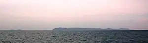
Ko Phai
Ko Phai (Thai: เกาะไผ่) ist die größte Insel des Mu Ko Phai (Thai: หมู่เกาะไผ่), eines kleinen unbewohnten Archipels, der zur Ostküsten-Inselgruppe Thailands gehört. Die Insel gehört zum Landkreis Amphoe Bang Lamung der Chonburi Provinz.
| Ko Phai เกาะไผ่ | ||
|---|---|---|
 | ||
| Gewässer | Golf von Thailand | |
| Inselgruppe | Mu Ko Phai | |
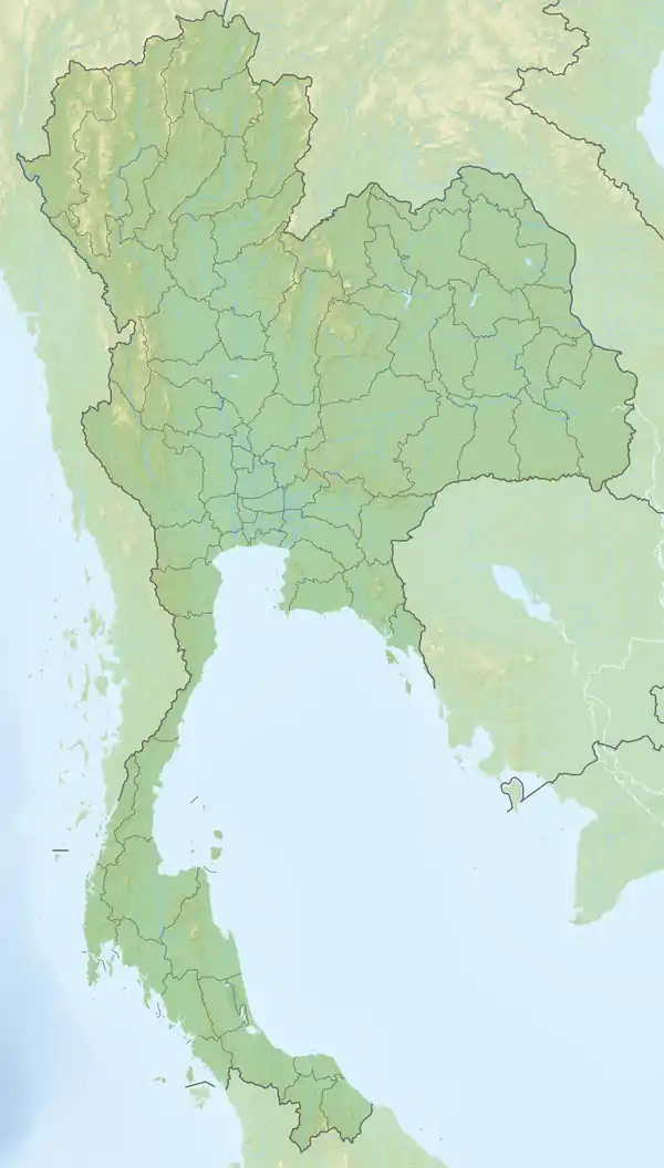
| Geographische Lage | 12° 56′ 0″ N, 100° 40′ 30″ O | |
| ||
| Länge | 4 km | |
| Breite | 1,5 km | |
| Einwohner | unbewohnt | |
Geographie
Die Insel liegt circa 21 km westlich von Pattaya beziehungsweise am südöstlichen Ende der Bucht von Bangkok im Golf von Thailand. Sie wird oft auch als „Bamboo Island“ bezeichnet.
Die maximale Ausdehnung der Insel Ko Phai beträgt circa vier Kilometer, ihre maximale Breite beträgt ungefähr 1,5 km. Ko Phai ist eine ruhig gelegene, schroffe, bewaldete Insel mit steilen Klippen. Die höchste Erhebung der Insel beträgt 150 m. Auf der Inselmitte befindet sich ein Leuchtturm.
Siehe auch
This article is issued from Wikipedia. The text is licensed under Creative Commons - Attribution - Sharealike. The authors of the article are listed here. Additional terms may apply for the media files, click on images to show image meta data.