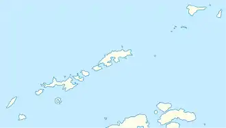
Kap Melville
Kap Melville ist das Ostkap von King George Island im Archipel der Südlichen Shetlandinseln. Es liegt am Ende der Melville-Halbinsel.
| Kap Melville | ||
| Geographische Lage | ||
| ||
| Koordinaten | 62° 1′ S, 57° 35′ W | |
| Lage | King George Island, Südliche Shetlandinseln | |
| Küste | Melville-Halbinsel | |
| Gewässer | Sherratt Bay | |
| Gewässer 2 | Destruction Bay | |
In früheren Karten entfiel die Benennung auf das nordöstliche Kap von King George Island, das heute als North Foreland bekannt ist. Die Benennung der hiesigen Landspitze geht auf den britischen Seefahrer Edward Bransfield um das Jahr 1820 zurück, als dieser die Südlichen Shetlandinseln erkundete. Namensgeber ist Robert Dundas, 2. Viscount Melville (1771–1851), damaliger Erster Lord der Admiralität.
800 m südlich des Kap Melville liegt der Livonia Rock.
Weblinks
- Cape Melville im Geographic Names Information System des United States Geological Survey (englisch)
- Cape Melville auf geographic.org (englisch)
This article is issued from Wikipedia. The text is licensed under Creative Commons - Attribution - Sharealike. The authors of the article are listed here. Additional terms may apply for the media files, click on images to show image meta data.
