Kap Felt
Kap Felt ist das Nordkap von Wright Island vor der Bakutis-Küste des westantarktischen Marie-Byrd-Lands.
| Kap Felt | ||
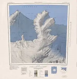 Karte mit Wright Island und Kap Felt (links oben) | ||
| Geographische Lage | ||
| ||
| Koordinaten | 73° 52′ S, 116° 23′ W | |
| Lage | Wright Island, Westantarktika | |
| Gewässer | Amundsen-See | |
| Gewässer 2 | Glade Bay | |

Eine erste Kartierung erfolgte anhand von Luftaufnahmen, die im Januar 1947 im Rahmen der Operation Highjump (1946–1947) entstanden. Das Advisory Committee on Antarctic Names benannte das Kap 1967 nach Admiral Harry D. Felt (1902–1994), Vize-Kommandeur der Einsätze der United States Navy bei der Operation Deep Freeze während des Internationalen Geophysikalischen Jahres (1957–1958).
Weblinks
- Cape Felt im Geographic Names Information System des United States Geological Survey (englisch)
- Cape Felt auf geographic.org (englisch)
This article is issued from Wikipedia. The text is licensed under Creative Commons - Attribution - Sharealike. The authors of the article are listed here. Additional terms may apply for the media files, click on images to show image meta data.