Kaldidalur
Das Kaldidalur (isl. kaltes Tal) ist ein Tal im westlichen Isländischen Hochland. Es liegt im Gemeindegebiet von Borgarbyggð.
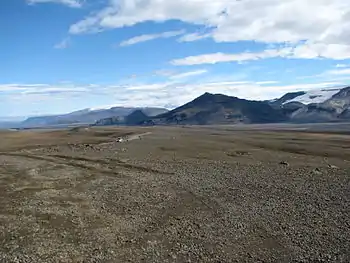
Kaldidalur-Piste vom Beinakerling in nördliche Richtung, re. Prestahnjúkur und Geitlandsjökull, in der Mitte im Hintergrund Eiríksjökull
Lage
Es befindet sich zwischen dem Vulkan Ok und dem Gletscher Þórisjökull. Sein höchster Punkt liegt auf 727 m. Das Vulkansystem des Prestahnúkur befindet sich östlich des Tales.
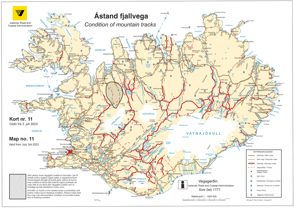
Hochlandpiste
Der Kaldadalsvegur ![]() ist eine Hauptstraße im Hochland im Westen von Island, der durch dieses Tal führt.
ist eine Hauptstraße im Hochland im Westen von Island, der durch dieses Tal führt.
Photos
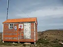 Nothütte
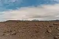 wüstenhafte Landschaft
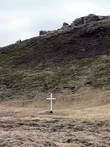 Biskupsbrekka
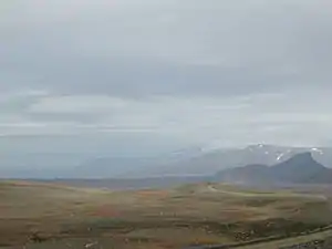 Kaldidalurpiste am Þorisjökull
Siehe auch
Weblinks
This article is issued from Wikipedia. The text is licensed under Creative Commons - Attribution - Sharealike. The authors of the article are listed here. Additional terms may apply for the media files, click on images to show image meta data.