Johnsons Point
Johnsons Point ist eine Siedlung in der Saint Mary Parish, an der Südküste der Insel Antigua, im Staat Antigua und Barbuda.
| Johnsons Point | |||
|---|---|---|---|
| |||
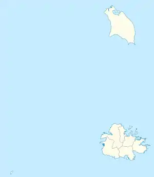
| Koordinaten | 17° 2′ N, 61° 53′ W | ||
| Basisdaten | |||
| Staat | Antigua und Barbuda | ||
| Insel | Antigua | ||
| St. Mary | |||
Lage und Landschaft
Johnsons Point liegt im Südwesten des Parish of Saint Mary an der Küste bei Johnsons Point (Old Fort Point) und an der Picarts Bay.[1] Im Norden schließt sich Crab Hill an und im Osten Urlings, welche durch die Valley Road miteinander verbunden sind.
Einzelnachweise
- Johnsons Point bei GeoNames geonames.org. Abgerufen am 9. November 2021.
This article is issued from Wikipedia. The text is licensed under Creative Commons - Attribution - Sharealike. The authors of the article are listed here. Additional terms may apply for the media files, click on images to show image meta data.