Island Lake
Der Island Lake ist der sechstgrößte See in der kanadischen Provinz Manitoba.
| Island Lake | ||
|---|---|---|
| Geographische Lage | Manitoba (Kanada) | |
| Abfluss | Island Lake River | |
| Orte am Ufer | Island Lake (Manitoba), Garden Hill, St. Theresa Point | |
| Daten | ||
| Koordinaten | 53° 47′ N, 94° 25′ W | |
| ||
| Höhe über Meeresspiegel | 227 m | |
| Fläche | 1 043 km²[1] | |
| Einzugsgebiet | 14.000 km²[2] | |
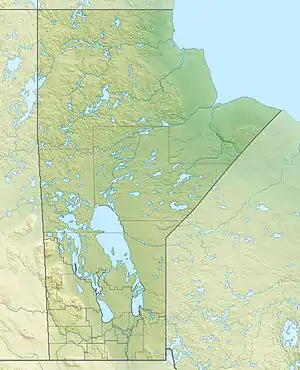
Er befindet sich im äußersten Osten der Provinz nahe der Grenze zu Ontario. Seine Wasserfläche beträgt 1043 km², die Gesamtfläche einschließlich Inseln 1223 km². Sein Abfluss, der Island Lake River, fließt zum nördlich gelegenen See Beaver Hill Lake.
Einzelnachweise
- Natural Resources Canada - The Atlas of Canada - Lakes
- Government of Canada: Historical Hydrometric Data Search Results: Station 04AC007
This article is issued from Wikipedia. The text is licensed under Creative Commons - Attribution - Sharealike. The authors of the article are listed here. Additional terms may apply for the media files, click on images to show image meta data.