Innisfallen Island
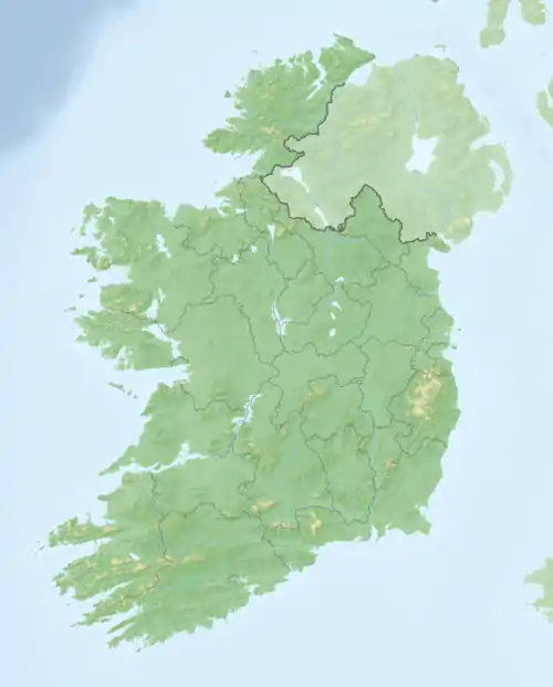
Innisfallen Island (irisch Inis Faithlinn) ist eine 8,7 Hektar[1] große Binnenseeinsel, die mit mehreren anderen im Lough Leane, einem See bei Killarney im County Kerry in der Republik Irland liegt.
| Innisfallen Inis Faithlinn | ||
|---|---|---|
| Gewässer | Lough Leane | |
| Geographische Lage | 52° 2′ 45″ N, 9° 33′ 21″ W | |
| ||
| Fläche | 8,7 ha | |
| Höchste Erhebung | 25 m | |
| Einwohner | unbewohnt | |
See und Insel gehören zum Killarney-Nationalpark, wobei die Insel wegen der Ruinen der Innisfallen Abbey bedeutsam ist.
Möglicherweise verdankt der See Lough Leane seinen Namen dem Kloster auf Innisfallen, da der irische Name Loch Léin übersetzt „See des Lernens“ bedeutet.
Einzelnachweise
- Table VII: Area, Houses, Out-offices and Farm-steadings, and Population, together with the Valuation of each Poor Law Union (or Superintendent Registrar's District), Dispensary (or Registrar's District), District Electoral Division, Townland, etc., in 1911. Killarney Union, KILLARNEY No. 1 D., KILLARNEY RURAL D.E.D. In: Census of Ireland, 1911. Area, Houses, and Population; also the Ages, civil or conjugal Condition, Occupations, Birthplaces, Religion, and Education of the people. Province of Munster. County of Kerry. Thom, Dublin 1912, S. 33 (online)
This article is issued from Wikipedia. The text is licensed under Creative Commons - Attribution - Sharealike. The authors of the article are listed here. Additional terms may apply for the media files, click on images to show image meta data.