Ilhéu das Cabras
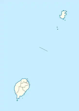
Ilhéu das Cabras ist eine kleine, zum westafrikanischen Staat São Tomé und Príncipe gehörende Insel im Golf von Guinea. Sie befindet sich 2,1 km ostnordöstlich des Ortes Micolo an der Nordostküste der Hauptinsel São Tomé, und drei Kilometer nördlich des Flughafens São Tomé. Sie ist nicht dauerhaft bewohnt und gehört zum Distrikt Lobata.
| Ilhéu das Cabras | ||
|---|---|---|
| Gewässer | Golf von Guinea | |
| Geographische Lage | 0° 24′ 30″ N, 6° 42′ 55″ O | |
| ||
| Länge | 940 m | |
| Breite | 240 m | |
| Höchste Erhebung | 90 m | |
Die Insel ist vulkanischen Ursprungs (Schichtvulkan). Sie besteht aus zwei Hügeln, die beide eine Höhe von 90 Metern erreichen. Auf dem nordöstlichen Hügel steht ein fünf Meter hoher Leuchtturm.[1]
Weblinks
- Ilhéu das Cabras auf travelingluck.com (portugiesisch)
This article is issued from Wikipedia. The text is licensed under Creative Commons - Attribution - Sharealike. The authors of the article are listed here. Additional terms may apply for the media files, click on images to show image meta data.