Ilhéu Bom Bom
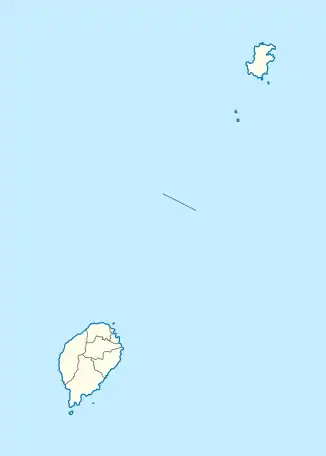
Ilheu Bom Bom ist eine Insel im Golf von Guinea. Sie liegt 70 Meter vor der Nordküste von Príncipe, einer der beiden Hauptinseln des Inselstaats São Tomé und Príncipe, verbunden durch einen Steg. Auf ihr befindet sich eines der wenigen Touristenresorts des Landes. Die Insel ist vulkanischen Ursprungs und hat keine permanenten Bewohner.
| Ilhéu Bom Bom | ||
|---|---|---|
 Der zur Insel führende Steg | ||
| Gewässer | Golf von Guinea | |
| Geographische Lage | 1° 41′ 55″ N, 7° 24′ 10″ O | |
| ||
| Länge | 750 m | |
| Breite | 220 m | |
| Fläche | 13 ha | |
| Höchste Erhebung | 59 m | |
Die Insel erreicht eine Höhe von 59 Metern.[1]
This article is issued from Wikipedia. The text is licensed under Creative Commons - Attribution - Sharealike. The authors of the article are listed here. Additional terms may apply for the media files, click on images to show image meta data.