Hoher Kopf (Hinterweidenthal)
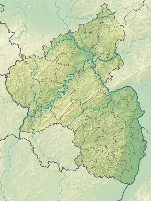
Der Hohe Kopf ist ein 367 m ü. NHN hoher Berg im nordwestlichen Wasgau, wie der Südteil des Pfälzerwaldes zusammen mit dem Nordteil der Vogesen auch genannt wird.
| Hoher Kopf | ||
|---|---|---|
| Höhe | 367 m ü. NHN | |
| Lage | Rheinland-Pfalz, Deutschland | |
| Gebirge | Pfälzerwald | |
| Koordinaten | 49° 10′ 29″ N, 7° 43′ 34″ O | |
| ||
Umgebung
An seiner Westflanke fließt der Salzbach vorbei.
This article is issued from Wikipedia. The text is licensed under Creative Commons - Attribution - Sharealike. The authors of the article are listed here. Additional terms may apply for the media files, click on images to show image meta data.
