Hobsons Bay
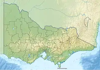
Hobsons Bay ist eine Bucht vor der australischen Metropole Melbourne. Sie ist Teil von Port Phillip und wurde vermutlich nach William Hobson, einem Entdecker und erstem Gouverneur der britischen Kolonie Neuseeland, benannt, der im Jahre 1836 die erste Karte der Bucht erstellte.[1]
| Hobsons Bay | ||
|---|---|---|
| Gewässer | Port Phillip | |
| Landmasse | Australien (Kontinent) | |
| Geographische Lage | 37° 51′ 17″ S, 144° 56′ 9″ O | |
| ||
| Breite | ca. 3 km | |
| Tiefe | ca. 5 km | |
| Zuflüsse | Yarra River | |
Sie ist zugleich Namensgeber des Verwaltungsbezirks (Local Government Area) Hobsons Bay City.
Einzelnachweise
- E. J. Tapp: Hobson, William (1793–1842). In: Douglas Pike (Hrsg.): Australian Dictionary of Biography. Melbourne University Press, Carlton (Victoria) 1966–2012 (englisch).
This article is issued from Wikipedia. The text is licensed under Creative Commons - Attribution - Sharealike. The authors of the article are listed here. Additional terms may apply for the media files, click on images to show image meta data.
