Hertali
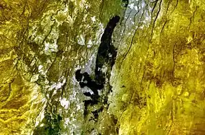
Der Hertali, auch Dabita Ale genannt, ist ein Spaltenvulkan in Äthiopien, die die Lavafelder am südlichen Ende der Awashebene.[1] Er liegt etwa 50 km nordöstlich des Dofen. Es wird angenommen, dass er während des späten Pleistozäns und des Holozäns aktiv war. Diese Annahmen basieren auf seinem „jugendlichen“ Aussehen.[2][3] Seine Position hat sich zuletzt von 2008 bis 2010 durch die Deformation des 10 km südlich liegenden Haledebi verändert.[4]
| Hertali | ||
|---|---|---|
 | ||
| Höhe | 900 m | |
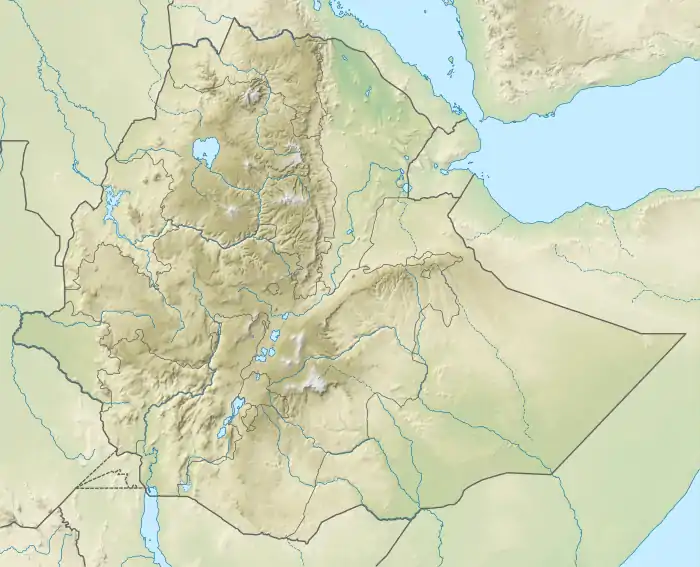
| Lage | Äthiopien | |
| Koordinaten | 9° 46′ 48″ N, 40° 19′ 48″ O | |
| ||
| Gestein | Basalt | |
Einzelnachweise
- AI, IK IS, ZAD EH, und I. LYA ZA LI AP IN.: Vulcanism in Africa: geological, perspectives, hazards and societal implications. In: Cambridge University Press (Hrsg.): Hazards, Disaster. S. 169–199.
- Global Volcanism Program | Hertali. Abgerufen am 16. Juli 2019 (englisch).
- Mohr P A, Wood C A: Volcano Spacings and Lithospheric Attenuation in the Eastern Rift of Africa. In: Earth Planet Sci Lett. Band 33, 1976, S. 126–144.
- J. Biggs, I. D. Bastow, D. Keir, E. Lewi: Pulses of deformation reveal frequently recurring shallow magmatic activity beneath the Main Ethiopian Rift: DEFORMING VOLCANOES IN THE MER. In: Geochemistry, Geophysics, Geosystems. Band 12, Nr. 9, September 2011, doi:10.1029/2011GC003662.
This article is issued from Wikipedia. The text is licensed under Creative Commons - Attribution - Sharealike. The authors of the article are listed here. Additional terms may apply for the media files, click on images to show image meta data.