Gateway-Nunatak
Der Gateway-Nunatak ist ein markanter Nunatak im ostantarktischen Viktorialand. Er ragt unweit des Kopfendes des Mackay-Gletschers und 15 km westlich des Mount Gran auf.
| Gateway-Nunatak | ||
|---|---|---|
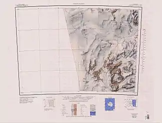
Gateway Nunatak am Südrand des Kartenblatts | ||
| Lage | Viktorialand, Ostantarktika | |
| Gebirge | Transantarktisches Gebirge | |
| Koordinaten | 77° 1′ 0″ S, 160° 15′ 0″ O | |
| ||

Die neuseeländische Nordgruppe der Commonwealth Trans-Antarctic Expedition (1955–1958) nahm 1957 eine geodätische Vermessung des Gipfels vor. Sie benannte den Nunatak so, weil der den Zugang (englisch: gateway) zu den oberhalb des Mackay-Gletschers gelegenen Scuppers-Eisfällen markiert.
Weblinks
- Gateway Nunatak im Geographic Names Information System des United States Geological Survey (englisch)
- Gateway Nunatak auf geographic.org (englisch)
This article is issued from Wikipedia. The text is licensed under Creative Commons - Attribution - Sharealike. The authors of the article are listed here. Additional terms may apply for the media files, click on images to show image meta data.