Foho Olopana
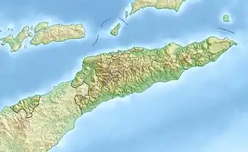
Der Foho Olopana ist ein Berg in Osttimor. Er befindet sich im Suco Eraulo (Verwaltungsamt Letefoho, Gemeinde Ermera), etwa drei Kilometer nordöstlich vom Ort Letefoho. Mit 1791 m ist der Olopana der höchste Berg der Aileu-Kette.[1]
| Foho Olopana | ||
|---|---|---|
| Höhe | 2180 m | |
| Lage | Gemeinde Ainaro, Osttimor | |
| Gebirge | Aileu-Kette | |
| Koordinaten | 8° 48′ 51″ S, 125° 28′ 20″ O | |
| ||
Einzelnachweise
- ECONOMIC AND SOCIAL COMMISSION FOR ASIA AND THE PACIFIC: ATLAS OF MINERAL RESOURCES OF THE ESCAP REGION, Volume 17, Geology and Mineral Resources of Timor-Leste, United Nations, S. 7, abgerufen am 19. März 2013.
This article is issued from Wikipedia. The text is licensed under Creative Commons - Attribution - Sharealike. The authors of the article are listed here. Additional terms may apply for the media files, click on images to show image meta data.