El Porvenir (Uruguay)
El Porvenir, auch Villa Porvenir, ist eine Ortschaft in Uruguay.
| El Porvenir | ||
|---|---|---|
|
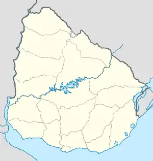
El Porvenir auf der Karte von Uruguay | ||
| Basisdaten | ||
| Staat | Uruguay | |
| Departamento | Canelones | |
| Einwohner | 507 (2011) | |
| Detaildaten | ||
Geographie
Sie befindet sich im Südwesten des Departamento Canelones in dessen Sektor 6 südlich von Sauce am Kilometerpunkt 25,5 der Ruta 6 nördlich deren Zusammentreffen mit der Straße "Tomas Berreta". Weitere Siedlungen in der Nähe sind Fraccionamiento Sobre Ruta 74, Asentamiento Ruta 6 K24500, Villa San Felipe und Villa San José.
Einwohner
Die Einwohnerzahl von El Porvenir beträgt 507. (Stand: 2011)[1]
| Jahr | Einwohner |
|---|---|
| 1975 | - |
| 1985 | 367 |
| 1996 | 260 |
| 2004 | 364 |
| 2011 | 507 |
Weblinks
- Stadtplan von El Porvenir (PDF; 79 kB)
Einzelnachweise
- Statistische Daten des Instituto Nacional de Estadística de Uruguay, abgerufen am 31. Oktober 2013
- Statistische Daten des Instituto Nacional de Estadística de Uruguay 1963–1996 (DOC; 76 kB)
- Statistische Daten des Instituto Nacional de Estadística de Uruguay – Stand 2004 (MS Excel; 75 kB)
This article is issued from Wikipedia. The text is licensed under Creative Commons - Attribution - Sharealike. The authors of the article are listed here. Additional terms may apply for the media files, click on images to show image meta data.
