Cyprian Bridge Island
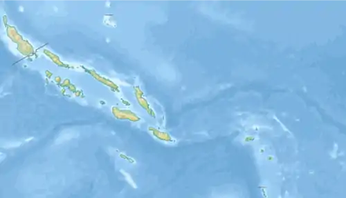
Cyprian Bridge Island ist eine kleine Insel der Salomonen. Die Insel liegt bei −6,85° südlicher Breite und 156,18333° östlicher Länge. Sie ist eine unbewohnte Vulkaninsel, die zwischen den Inseln Fauro (30 km südwestlich) und Choiseul (ca. 100 km nordöstlich) liegt. Die Insel gehört zur Provinz Choiseul des Staates Salomonen.[1]
| Cyprian Bridge Island | ||
|---|---|---|
| Gewässer | Salomonensee | |
| Inselgruppe | Salomon-Inseln | |
| Geographische Lage | 6° 51′ S, 156° 11′ O | |
| ||
| Einwohner | unbewohnt | |
Die Insel ist nach dem Major Cyprian Bridge (1807–1885) benannt, einem britischen Offizier, der vor allem für seine Aktivitäten im Flagstaff-Krieg bekannt war, der 1845 in Neuseeland gegen die Maori ausgetragen wurde. Er war der Onkel von Admiral Sir Cyprian Bridge (1839–1924), dem Chef des britischen Marine-Nachrichtendienstes. Die Insel, die zur Gruppe der Salomonen gehört ist vor etwa 25 Millionen Jahren durch vulkanische Aktivitäten entstanden.[2]
Einzelnachweise
- Sailing Directions for the Pacific Islands (2 ed.). U.S. Naval Oceanographic Office. 1964. S. 177
- Cyprian Bridge Island: Solomon Islands; Geographic Names