Cuchilla del Cordobés
Die Cuchilla del Cordobés ist eine Hügelkette in Uruguay.
| Cuchilla del Cordobés | ||
|---|---|---|
| Lage | Cerro Largo, Uruguay | |
| ||
| Koordinaten | 32° 35′ S, 55° 10′ W | |
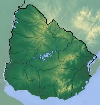
Sie befindet sich im westlichen Teil des Departamento Cerro Largo in einer Ausdehnung etwa vom Cañada Brava im Süden bis zum Río Negro als nördliche Begrenzung. Westlich verläuft der Arroyo del Cordobés.[1][2]
Einzelnachweise
This article is issued from Wikipedia. The text is licensed under Creative Commons - Attribution - Sharealike. The authors of the article are listed here. Additional terms may apply for the media files, click on images to show image meta data.