Cook Rock
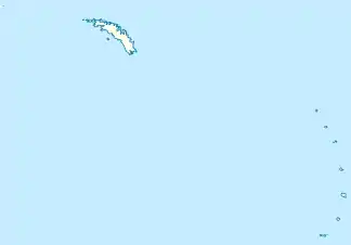
Der Cook Rock ist eine 45 m hohe und bogenförmige Klippe im Archipel der Südlichen Sandwichinseln. Im Nelson Channel liegt er 25 m östlich des Trousers Rock und rund 500 m nordöstlich des Braces Point von Vindication Island.
| Cook Rock | ||
|---|---|---|
| Gewässer | Nelson Channel | |
| Inselgruppe | Südliche Sandwichinseln | |
| Geographische Lage | 57° 6′ 41,2″ S, 26° 47′ 23,7″ W | |
| ||
| Länge | 150 m | |
| Breite | 135 m | |
| Fläche | 1,5 ha | |
| Höchste Erhebung | 45 m | |
| Einwohner | unbewohnt | |
Kartiert und benannt wurde der Felsen von Wissenschaftlern der britischen Discovery Investigations im Jahr 1930. Namensgeber ist der britische Seefahrer und Entdecker James Cook (1728–1779).
Der Cook Rock und benachbarte Klippen wie der Tomblin Rock und der Trousers Rock gelten als erodierte Reste ausgedehnter Vulkane.[1]
Weblinks
- Cook Rock im Geographic Names Information System des United States Geological Survey (englisch)
- Cook Rock auf geographic.org (englisch)
Einzelnachweise
This article is issued from Wikipedia. The text is licensed under Creative Commons - Attribution - Sharealike. The authors of the article are listed here. Additional terms may apply for the media files, click on images to show image meta data.