Cone Island (Northland)
Cone Island ist eine Insel vor der Ostküste der Region Northland der Nordinsel von Neuseeland.
| Cone Island | ||
|---|---|---|
| Gewässer | Whangaroa Bay, Pazifischer Ozean | |
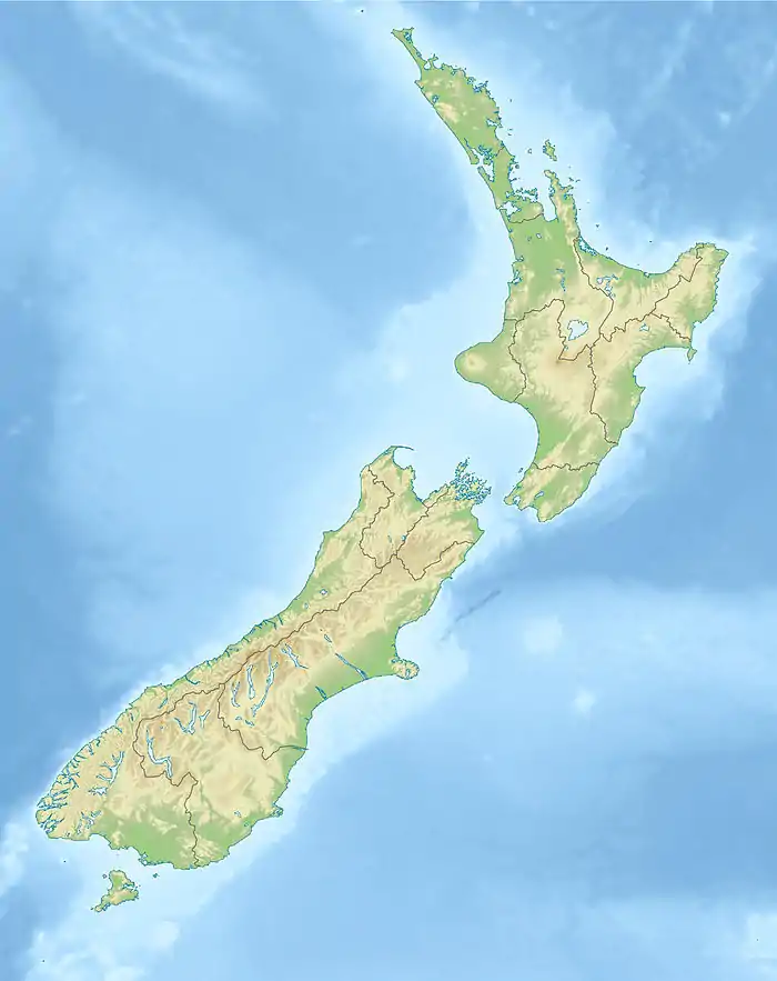
| Geographische Lage | 34° 57′ 11″ S, 173° 46′ 6″ O | |
| ||
| Länge | 540 m | |
| Breite | 220 m | |
| Fläche | 5,7 ha | |
| Höchste Erhebung | 82 m | |
| Einwohner | unbewohnt | |
Geographie
Die rund 540 m lange und rund 220 m breite Insel befindet sich rund 5,5 km[1] nördlich des Whangaroa Harbour und zählt zu der südöstlich angrenzenden und größeren Insel Stephenson Island. Die Beiden Inseln liegen seeseitig der Whangaroa Bay und gehören administrativ zum Far North District. In nordwestlicher Richtung sind Cone Island mehrere Felsen und das Felsriff Kawhiti Reef vorgelagert.[2]
Einzelnachweise
- Koordinaten und Längenbestimmungen wurden mittels Goggle Earth Pro Version 7.3.1.4507 am 22. April 2018 vorgenommen
- Topo250 maps. Land Information New Zealand, abgerufen am 22. April 2018 (englisch).
This article is issued from Wikipedia. The text is licensed under Creative Commons - Attribution - Sharealike. The authors of the article are listed here. Additional terms may apply for the media files, click on images to show image meta data.