Cerro de Pastoreo
Cerro de Pastoreo ist eine Ortschaft in Uruguay.
| Cerro de Pastoreo | ||
|---|---|---|
|
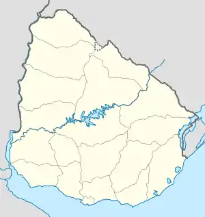
Cerro de Pastoreo auf der Karte von Uruguay | ||
| Basisdaten | ||
| Staat | Uruguay | |
| Departamento | Tacuarembó | |
| Einwohner | 24 (2011) | |
| Detaildaten | ||
Geographie
Cerro de Pastoreo befindet sich im nördlichen Landesteil Uruguays auf dem Gebiet des Departamento Tacuarembó in dessen Sektor 6. Der Ort liegt einige Kilometer westnordwestlich der Departamento-Hauptstadt Tacuarembó und nordwestlich von La Pedrera zwischen der Cuchilla de la Casa de Piedra im Norden und der südlich sich erstreckenden Cuchilla de la Aldea. Westlich des Ortes fließt der Arroyo Quiebra Yugos.
Infrastruktur
Nördlich des Ortes führt die Ruta 31 vorbei.
Einwohner
Beim Census 2011 betrug die Einwohnerzahl von Cerro de Pastoreo 24, davon zwölf männliche und zwölf weibliche.[1] Für die vorhergehenden Volkszählungen von 1963 bis 1996 sind beim Instituto Nacional de Estadística de Uruguay keine Daten erfasst worden.
| Jahr | Einwohner |
|---|---|
| 1963 | - |
| 1975 | - |
| 1985 | - |
| 1996 | - |
| 2004 | 41 |
| 2011 | 24 |
Weblinks
- Stadtplan von Cerro de Pastoreo (PDF; 74 kB)
Einzelnachweise
- Statistische Daten des Instituto Nacional de Estadística de Uruguay, abgerufen am 23. September 2012
- Statistische Daten des Instituto Nacional de Estadística de Uruguay 1963–1996 (DOC; 172 kB)
- Statistische Daten des Instituto Nacional de Estadística de Uruguay – Stand 2004 (MS Excel; 38 kB), abgerufen am 24. Oktober 2010
