Cerro Bonito
Der Cerro Bonito (deutsch Hübscher Berg) ist ein Berg in Uruguay.
| Cerro Bonito | ||
|---|---|---|
| Höhe | 351 m | |
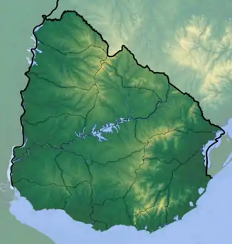
| Lage | im Tal von Lunarejo, Rivera, Uruguay | |
| Gebirge | Cuchilla de Haedo | |
| Koordinaten | 31° 46′ 0″ S, 54° 42′ 0″ W | |
| ||
Er befindet sich im Departamento Rivera im Tal von Lunarejo. Der 351 m hohe Berg gehört dabei zur Hügelkette Cuchilla de Haedo.[1]
Weblinks
- Cerro Bonito auf Peakbagger.com (englisch)
- Karte mit exakter Lage des Bergs
Einzelnachweise
- Cuchilla de Haedo – Cerro Bonito. In: Enciclopedia Geografica del Uruguay. Acerca de Montevideo COMM, abgerufen am 16. Mai 2010 (spanisch).
This article is issued from Wikipedia. The text is licensed under Creative Commons - Attribution - Sharealike. The authors of the article are listed here. Additional terms may apply for the media files, click on images to show image meta data.
