Cayo Sabinal
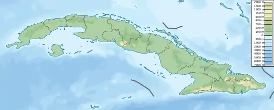
Cayo Sabinal ist eine Insel der Jardines del Rey (Gärten des Königs) an der Nordküste Kubas in der Provinz Camagüey. Die Insel ist durchschnittlich 8 km breit und ca. 30 km lang. Touristische Einrichtungen bestehen am Playa los Pinos, der durch eine 16 km lange Mautstraße, die teilweise auf einem Fahrdamm verläuft, mit dem Festland verbunden ist. Im äußersten Südosten der Insel befinden sich der schönere Strand Playa Bonita und der Playa Chuchú. Der gesamte Südteil der Insel an der Landseite ist unzugänglich.
| Cayo Sabinal | ||
|---|---|---|
| Gewässer | Atlantischer Ozean | |
| Inselgruppe | Jardines del Rey | |
| Geographische Lage | 21° 43′ N, 77° 16′ W | |
| ||
| Länge | 30 km | |
| Breite | 8 km | |
This article is issued from Wikipedia. The text is licensed under Creative Commons - Attribution - Sharealike. The authors of the article are listed here. Additional terms may apply for the media files, click on images to show image meta data.
