Caregagruppe
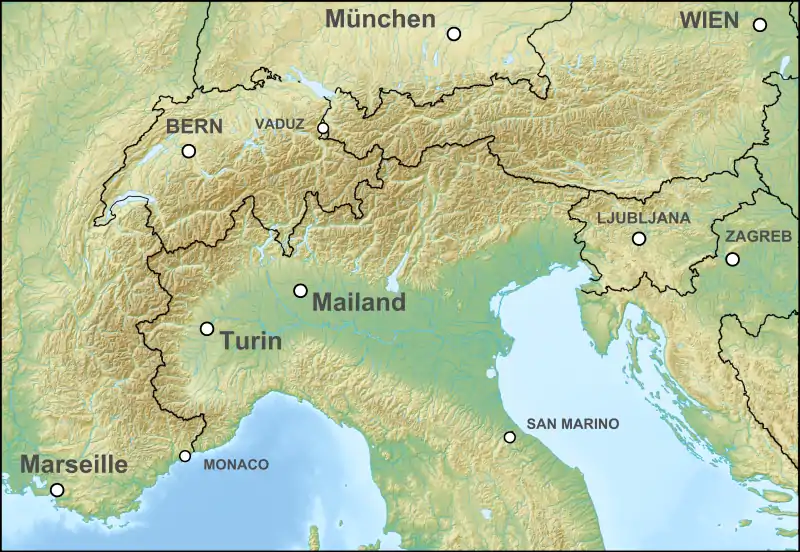
Die Caregagruppe (italienisch Gruppo del Carega) ist ein Massiv in den Vizentiner Alpen, welches auf der Grenze der Provinzen Vicenza, Verona und Trient liegt. Sie gehört zur Gebirgsgruppe der Kleinen Dolomiten (italienisch Piccole Dolomiti) und bildet deren zentralen Bereich. Höchste Erhebung ist die Cima Carega mit 2259 m s.l.m.
| Caregagruppe | ||
|---|---|---|
 Caregagruppe von Rubbio (Vicenza) aus. Caregagruppe von Rubbio (Vicenza) aus. | ||
| Höchster Gipfel | Cima Carega (2259 m s.l.m.) | |
| Lage | Südtirol, Trentino, Italien | |
| Teil der | Vizentiner Alpen | |
| ||
| Koordinaten | 45° 43′ N, 11° 8′ O | |
| Fläche | 240 km² | |
Bedeutende Gipfel
- Cima Carega, 2259 m
- Cima Posta, 2210 m
- Monte Obante, 2067 m
- Cima Levante, 2020 m
Schutzhütten
- Rifugio Campogrosso
- Rifugio Mario Fraccaroli
- Rifugio Passo Pertica
- Rifugio Revolto
- Rifugio Scalobri
Karten
- Tabacco Nr. 56 Piccole Dolomiti – Pasubio (1:25.000)
Weblinks
Commons: Caregagruppe – Sammlung von Bildern, Videos und Audiodateien
This article is issued from Wikipedia. The text is licensed under Creative Commons - Attribution - Sharealike. The authors of the article are listed here. Additional terms may apply for the media files, click on images to show image meta data.
