Browne Island (Nunavut)
Browne Island ist eine unbewohnte Insel in der Qikiqtaaluk Region im kanadischen Territorium Nunavut.
| Browne Island | ||
|---|---|---|
| Gewässer | Arktischer Ozean | |
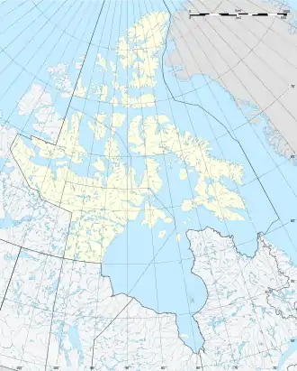
| Geographische Lage | 74° 49′ 28″ N, 96° 21′ 58″ W | |
| ||
| Länge | 4,4 km | |
| Breite | 1,5 km | |
| Höchste Erhebung | 150 m | |
| Einwohner | unbewohnt | |
Sie ist 4,4 Kilometer lang, 1,5 Kilometer breit und 150 Meter hoch. Browne Island liegt wie die benachbarten Inseln Somerville Island und Griffith Island vor der Südwestküste Cornwallis Islands, von dem sie 7 Kilometer entfernt ist.
Die Insel wurde am 29. August 1820 von William Parry auf seiner ersten Reise zur Suche nach der Nordwestpassage entdeckt und nach Henry Browne, einem Unterstützer seiner Expedition benannt.[1]
Einzelnachweise
- William Edward Parry: Journal of a Voyage for the Discovery of a North-West Passage from the Atlantic to the Pacific Performed in the Years 1819–20. London 1821, S. 264.
This article is issued from Wikipedia. The text is licensed under Creative Commons - Attribution - Sharealike. The authors of the article are listed here. Additional terms may apply for the media files, click on images to show image meta data.