Berthoud Pass
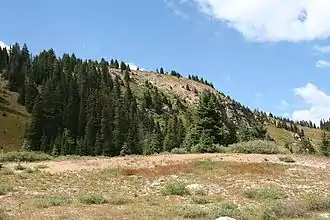
Der Berthoud Pass [ˈbɜrθəd] ist ein Gebirgspass im Zentrum des US-Bundesstaats Colorado. Der Pass liegt auf der Grenze der Countys Clear Creek County und Grand County und verläuft zwischen den Städten Fraser und Idaho Springs.
| Berthoud Pass | |||
|---|---|---|---|
 | |||
| Himmelsrichtung | Süden | Norden | |
| Passhöhe | 3446 m | ||
| County | Clear Creek County, Colorado (USA) | Grand County, Colorado (USA) | |
| Wasserscheide | West Fork Clear Creek → South Platte River → Platte River → Missouri River | Fraser River → Colorado River | |
| Talorte | Empire | Winter Park | |
| Ausbau | U.S. Highway 40 | ||
| Gebirge | Front Range (Rocky Mountains) | ||
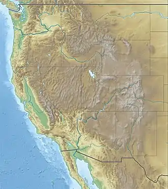
| Karte | |||
| |||
| Koordinaten | 39° 47′ 52″ N, 105° 46′ 37″ W | ||
Über den Berthoud Pass führt die Kontinentale Wasserscheide.
This article is issued from Wikipedia. The text is licensed under Creative Commons - Attribution - Sharealike. The authors of the article are listed here. Additional terms may apply for the media files, click on images to show image meta data.