Bennison Island
Bennison Island ist eine unbewohnte Insel im australischen Bundesstaat Victoria. Sie ist 1,8 Kilometer vom australischen Festland, der Halbinsel Wilsons Promontory, entfernt.
| Bennison Island | ||
|---|---|---|
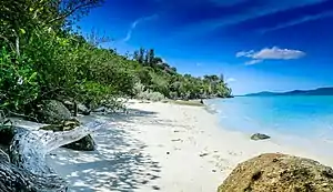 Strand im Süden der Insel | ||
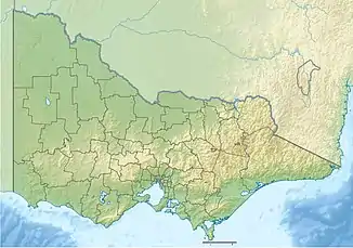
| Gewässer | Corner Inlet, Bass-Straße | |
| Geographische Lage | 38° 50′ 31″ S, 146° 22′ 9″ O | |
| ||
| Länge | 320 m | |
| Breite | 260 m | |
| Fläche | 7,7 ha | |
| Höchste Erhebung | 17 m | |
| Einwohner | unbewohnt | |
Die Insel ist 320 Meter lang, 260 Meter breit und 17 Meter hoch. In der Nähe liegen die Inseln Corner Island, Long Island und Granite Island.[1]
Einzelnachweise
- Bennison Island Mapcarta.com (englisch). Zuletzt abgerufen am 25. Dezember 2017
This article is issued from Wikipedia. The text is licensed under Creative Commons - Attribution - Sharealike. The authors of the article are listed here. Additional terms may apply for the media files, click on images to show image meta data.