Barchatnaja Sopka
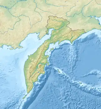
Der Vulkan Barchatnaja Sopka (russisch Бархатная сопка) ist eine aus andesitischem bis rhyolithischem Gestein bestehende Kette aus Lavadomen und liegt entlang des Paratunka-Flusses nordwestlich des Vulkans Wiljutschinskaja Sopka auf der russischen Halbinsel Kamtschatka. Die meisten der jüngeren Aschekegel liegen an der Süd- und Südost-Seite des Dom-Komplexes.
| Barchatnaja Sopka | ||
|---|---|---|
| Höhe | 870 m | |
| Lage | Kamtschatka-Halbinsel (Russland) | |
| Koordinaten | 52° 49′ 28″ N, 158° 12′ 58″ O | |
| ||
| Typ | Lavadom | |
| Letzte Eruption | 3550 v. Chr. | |
Quellen
- Barchatnaja Sopka im Global Volcanism Program der Smithsonian Institution (englisch)
This article is issued from Wikipedia. The text is licensed under Creative Commons - Attribution - Sharealike. The authors of the article are listed here. Additional terms may apply for the media files, click on images to show image meta data.