Bajuni-Inseln
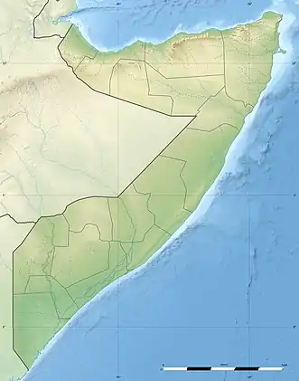
Die Bajuni-Inseln oder Baajun-Inseln sind eine Kette von Koralleninseln im Indischen Ozean im Süden Somalias, die entlang der Küste in einem Abstand von einem bis sechs Kilometer von Kismaayo im Norden über 100 Kilometer bis zum Raas Kaambooni nahe der kenianischen Grenze erstreckt. Die Gesamtfläche dieser Inseln beträgt über 30 Quadratkilometer. Sie sind der nördlichste Teil einer Kette von Riffen an der Küste Ostafrikas, zu der auch Sansibar und Pemba gehören. Administrativ gehören sie zur Region Jubbada Hoose.
| Bajuni-Inseln | ||
|---|---|---|
| Gewässer | Indischer Ozean | |
| Geographische Lage | 0° 45′ S, 42° 15′ O | |
| ||
| Anzahl der Inseln | >37 | |
| Hauptinsel | Juula (Chula) | |
| Gesamte Landfläche | 31 km² | |
| Einwohner | 1000 | |
Die sechs größten Inseln sind, von Nord nach Süd: Koyaama (Koyama, 6,38 km²), Gumme (Ngumi, 2,56 km²), Jofay (Chowaye, Chovaye, 5,46 km²), Juula (Chula, 6,40 km²), Dargas (Darakasi, 1,99 km²) und Tandraas (Chandra, 2,95 km²).[1]
Bewohnt werden die Bajuni-Inseln von rund 1000 Bajuni, die zur Swahili-Gesellschaft gehören. Die meistbevölkerte der Inseln ist Juula (Chula). Auch die Inseln Fuma (auch Fuuma, Fuyuuma oder Fuma Iyu Na Tini), Jofay, Ndoa, und Kudai sind bewohnt.[2]
Literatur
Weblinks
- Bajuni: people, society, geography, history, language (PDF)
- Tactical Pilotage Charts 1:500.000 Kartenblatt TPC M-5B Kenya; Somalia; Tanzania (1991) U.S. Defense Mapping Agency Aerospace Center
- Foto der Insel Koyama, mit Lagune
Einzelnachweise
- Weigelt et al.: Islands Database (August 2013)
- Information regarding the treatment of the Bajuni clan in Somalia (PDF) Refugee Documentation Centre (Ireland)
