Bajo-Nunatak
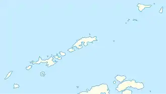
Der Bajo-Nunatak (von spanisch bajo ‚niedrig‘) ist ein 210 m hoher Nunatak im Südwesten von Robert Island im Archipel der Südlichen Shetlandinseln. Er ragt oberhalb des Zahari Point am Nordwestufer der Micalvi Cove auf.
| Bajo-Nunatak | ||
|---|---|---|
| Höhe | 210 m | |
| Lage | Robert Island, Südliche Shetlandinseln | |
| Koordinaten | 62° 27′ 0″ S, 59° 32′ 0″ W | |
| ||
Wissenschaftler der 3. (1948–1949) und 4. Chilenischen Antarktisexpedition (1949–1950) kartierten ihn im Zuge von Vermessungen der English Strait. Seine Benennung ist seit 1963 etabliert.
Weblinks
- Bajo, Nunatak im Composite Gazetteer of Antarctica (englisch und spanisch)
This article is issued from Wikipedia. The text is licensed under Creative Commons - Attribution - Sharealike. The authors of the article are listed here. Additional terms may apply for the media files, click on images to show image meta data.
