Atherton Peak
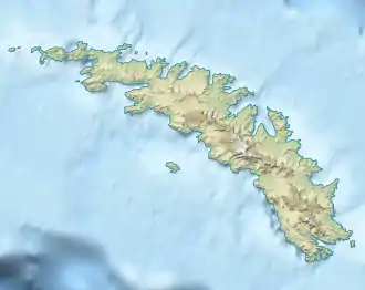
Der Atherton Peak ist ein rund 500 m hoher Berg nahe der Nordküste Südgeorgiens. Er ragt östlich der Fortuna Bay und nordnordwestlich des Harper Peak auf.
| Atherton Peak | ||
|---|---|---|
| Höhe | 500 m | |
| Lage | Südgeorgien | |
| Koordinaten | 54° 6′ 58″ S, 36° 45′ 8″ W | |
| ||
Wissenschaftler der britischen Discovery Investigations kartierten ihn zwischen 1929 und 1930. Namensgeber ist Noel Atherton (1899–1987), damals Kartograf im United Kingdom Hydrographic Office und später leitender Hydrograph dieser Institution zwischen 1951 und 1952.
Weblinks
- Atherton Peak im Geographic Names Information System des United States Geological Survey (englisch)
- Atherton Peak auf geographic.org (englisch)
This article is issued from Wikipedia. The text is licensed under Creative Commons - Attribution - Sharealike. The authors of the article are listed here. Additional terms may apply for the media files, click on images to show image meta data.