Fortuna Bay
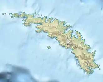
Die Fortuna Bay ist eine 1,5 km breite und 5 km lange Bucht an der Nordküste Südgeorgiens. Ihre Einfahrt liegt zwischen dem Kap Best und dem Robertson Point.
| Fortuna Bay | ||
|---|---|---|
| Gewässer | Südatlantik | |
| Landmasse | Südgeorgien | |
| Geographische Lage | 54° 7′ 0″ S, 36° 48′ 0″ W | |
| ||
| Breite | 1,5 km | |
| Tiefe | 5 km | |
| Inseln | Fortuna Rocks | |
| Zuflüsse | Fortuna-Gletscher, König River, Turnback Glacier | |
Der norwegische Walfangunternehmer und Antarktisforscher Carl Anton Larsen benannte die Bucht nach seinem Schiff Fortuna, mit dem er zwischen 1904 und 1905 in den Gewässern um Südgeorgien unterwegs war.
Weblinks
- Fortuna Bay im Geographic Names Information System des United States Geological Survey (englisch)
- Fortuna Bay auf geographic.org (englisch)
This article is issued from Wikipedia. The text is licensed under Creative Commons - Attribution - Sharealike. The authors of the article are listed here. Additional terms may apply for the media files, click on images to show image meta data.