Ärmbu abaja
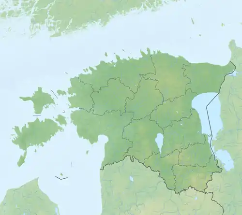
Ärmbu abaja ist eine Bucht in der Landgemeinde Saaremaa im Kreis Saare auf der größten estnischen Insel Saaremaa. Sie liegt im Naturschutzgebiet Kahtla-Kübassaare hoiuala. In der Bucht liegt die Insel Ärmbu nasu.[1]
| Ärmbu abaja | ||
|---|---|---|
| Gewässer | Liivi laht, Ostsee | |
| Landmasse | Saaremaa | |
| Geographische Lage | 58° 21′ 50″ N, 23° 1′ 4″ O | |
| ||
| Breite | 230 m | |
| Tiefe | 500 m | |
| Inseln | Ärmbu nasu | |
Die Bucht ist 230 Meter breit und schneidet sich 500 Meter tief ins Land ein.
Einzelnachweise
- X-GIS xgis.maaamet.ee (englisch). Zuletzt abgerufen am 26. April 2018
This article is issued from Wikipedia. The text is licensed under Creative Commons - Attribution - Sharealike. The authors of the article are listed here. Additional terms may apply for the media files, click on images to show image meta data.