West Point (Deception Island)
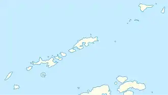
Der West Point bildet, wie durch den englischen Namen besagt, den westlichen Ausläufer von Deception Island im Archipel der Südlichen Shetlandinseln.
| West Point | ||
| Geographische Lage | ||
| ||
| Koordinaten | 62° 57′ S, 60° 45′ W | |
| Lage | Deception Island (Südliche Shetlandinseln) | |
| Gewässer | Bransfieldstraße | |
Der britische Geologe Donald Durston Hawkes (* 1934) kartierte sie 1961. Polnische Wissenschaftler benannten sie 1999.
Weblinks
- West Point im Composite Gazetteer of Antarctica (englisch und spanisch)
This article is issued from Wikipedia. The text is licensed under Creative Commons - Attribution - Sharealike. The authors of the article are listed here. Additional terms may apply for the media files, click on images to show image meta data.
