Thomas Rock
Der Thomas Rock ist ein kleiner Nunatak im ostantarktischen Viktorialand. In den Prince Albert Mountains ragt er 1,5 km nordöstlich des Tent Rock und 10 km westlich der Ricker Hills auf.
| Thomas Rock | ||
|---|---|---|
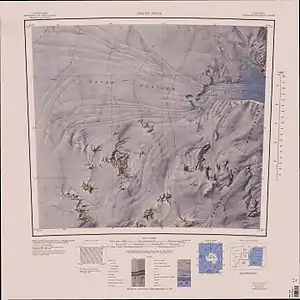
Topographische Karte mit dem Thomas Rock (südwestlicher Kartenquadrant) | ||
| Lage | Viktorialand, Ostantarktika | |
| Gebirge | Prince Albert Mountains, Transantarktisches Gebirge | |
| Koordinaten | 75° 41′ 25″ S, 158° 36′ 49″ O | |
| ||

Der United States Geological Survey kartierte ihn anhand eigener Vermessungen und Luftaufnahmen der United States Navy aus den Jahren von 1956 bis 1962. Das Advisory Committee on Antarctic Names benannte ihn im Jahr 1968 nach Kenneth E. Thomas, Funker der Überwinterungsmannschaft auf der Amundsen-Scott-Südpolstation im Jahr 1966.
Weblinks
- Thomas Rock im Geographic Names Information System des United States Geological Survey (englisch)
- Thomas Rock auf geographic.org (englisch)
This article is issued from Wikipedia. The text is licensed under Creative Commons - Attribution - Sharealike. The authors of the article are listed here. Additional terms may apply for the media files, click on images to show image meta data.