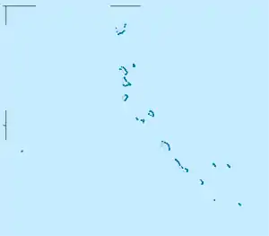
Temuah
Temuah ist ein Motu des Onotoa-Atolls der pazifischen Inselrepublik Kiribati.
| Temuah | ||
|---|---|---|
| Gewässer | Pazifischer Ozean | |
| Inselgruppe | Onotoa | |
| Geographische Lage | 1° 48′ S, 175° 31′ O | |
| ||
Geographie
Temuah bildet die Nordspitze des Atolls. Im Süden schließt sich Buariki (Tanyah) an. Vor der Westspitze der Insel liegt das Eiland Aonteumwa.[1] An der Südküste, zur Lagune hin, liegt das Örtchen Tekawa und im zerklüfteten Inselinneren, im Osten liegt der Flugplatz Onotoa (NGON, OOT).
This article is issued from Wikipedia. The text is licensed under Creative Commons - Attribution - Sharealike. The authors of the article are listed here. Additional terms may apply for the media files, click on images to show image meta data.
