Tebe-Tebe
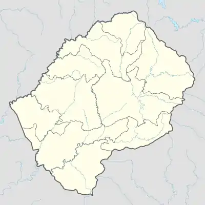
Tebe-Tebe ist ein Ort und ein Community Council im Distrikt Berea im Königreich Lesotho. Im Jahre 2006 hatte der Bezirk eine Bevölkerung von 16.533 Personen.[1]
| Tebe-Tebe | |||
|---|---|---|---|
| |||
| Koordinaten | 29° 13′ S, 27° 55′ O | ||
| Basisdaten | |||
| Staat | Lesotho | ||
| Berea | |||
Lage
Der Ort liegt im Nordwesten des Landes.[2] Zum Council gehören die Orte[3]:
|
|
|
Einzelnachweise
- Lesotho Bureau of Statistics, Census Pre Results. bos.gov.ls. Archivlink
- Tebe-Tebe bei GeoNames, geonames.org. 2022-03-01.
- Lesotho Bureau of Statistics, Village List 2006.
This article is issued from Wikipedia. The text is licensed under Creative Commons - Attribution - Sharealike. The authors of the article are listed here. Additional terms may apply for the media files, click on images to show image meta data.
