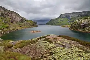
Svartavatnet
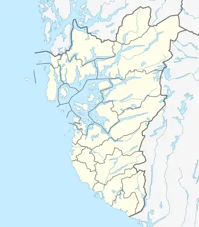
Der Svartavatnet[1] (auch: Svartevatnet, deutsche Übersetzung: schwarzes Wasser) ist der Name eines Stausees in Norwegen. Er befindet sich in der Provinz Rogaland in der Kommune Sauda, direkt an der Grenze zur Nachbarprovinz Vestland. Der See liegt auf 798 bis 837 moh. Höhe am Fylkesvei 520 von Sauda nach Røldal.
| Svartavatnet Svartevatnet | ||
|---|---|---|
 | ||
| Geographische Lage | Sauda (Rogaland, Norwegen) | |
| Zuflüsse | Kvelvabekken, Kringletjørn | |
| Abfluss | Svartkulp → Storelva → Saudafjord (Boknafjord) | |
| Daten | ||
| Koordinaten | 59° 44′ 23″ N, 6° 38′ 40″ O | |
| ||
| Höhe über Meeresspiegel | 798 moh. | |
Siehe auch
Weblinks
Commons: Svartavatnet, Sauda – Sammlung von Bildern, Videos und Audiodateien
- Svartavatnet auf norgeskart.no (norwegisch)
Einzelnachweise
- Faktaark. In: kartverket.no. Abgerufen am 1. März 2020 (norwegisch).
This article is issued from Wikipedia. The text is licensed under Creative Commons - Attribution - Sharealike. The authors of the article are listed here. Additional terms may apply for the media files, click on images to show image meta data.