Suro-lau
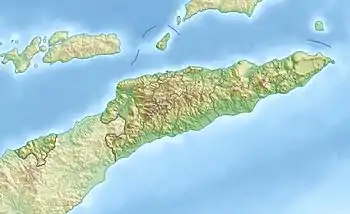
Der osttimoresische Berg Suro-lau (Foho Surolau) liegt im Zentrum der Gemeinde Ainaro. Er befindet sich im Suco Soro (Verwaltungsamt Ainaro). Der Berg hat eine Höhe von 1261 m.
| Suro-lau (Foho Surolau) | ||
|---|---|---|
| Höhe | 1261 m | |
| Lage | Gemeinde Ainaro, Osttimor | |
| Koordinaten | 9° 0′ 58″ S, 125° 32′ 21″ O | |
| ||
This article is issued from Wikipedia. The text is licensed under Creative Commons - Attribution - Sharealike. The authors of the article are listed here. Additional terms may apply for the media files, click on images to show image meta data.