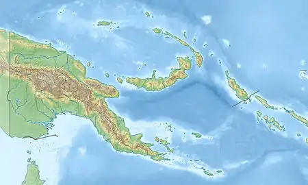
Stuers-Inseln
Die Stuers-Inseln sind eine unbewohnte Inselgruppe im Louisiade-Archipel. Politisch sind sie Teil der Provinz Milne Bay im südöstlichen Papua-Neuguinea.
| Stuers-Inseln | ||
|---|---|---|
| Gewässer | Salomonensee | |
| Archipel | Louisiade-Archipel | |
| Geographische Lage | 11° 6′ S, 151° 8′ O | |
| ||
| Anzahl der Inseln | 2 | |
| Hauptinsel | Marai | |
| Gesamte Landfläche | 0,34 km² | |
| Einwohner | unbewohnt | |
Die Inseln befinden sich 16 km südöstlich von Wari, die Insel Quessant (Tariwerwi) ist weitere 16 km in Richtung Südosten entfernt. Die Inselgruppe besteht aus zwei Inseln, Marai (29 ha) und Taliwewai (4,6 ha). Marai ist die größere der beiden Inseln. Sie ist 20 m hoch. Taliwewai liegt 1,7 km nordöstlich und ist 12 m hoch.[1] Im Westen der Stuers-Inseln befindet sich ein großes Gebiet mit Riffen und Untiefen, die Uluma-Riffe (Uluma Reefs oder Suckling Reefs).
Weblinks
- Prostar Sailing Directions 2004 New Guinea Enroute, Guna Isu to Isulailai Point National Geospatial-intelligence Agency, ProStar Publications, Annapolis 2004, ISBN 1-57785-569-8
Einzelnachweise
- Prostar Sailing Directions 2004 New Guinea Enroute, Guna Isu to Isulailai Point National Geospatial-intelligence Agency, ProStar Publications, Annapolis 2004, ISBN 1-57785-569-8, S. 148 (abgerufen 19. Februar 2011)
This article is issued from Wikipedia. The text is licensed under Creative Commons - Attribution - Sharealike. The authors of the article are listed here. Additional terms may apply for the media files, click on images to show image meta data.
