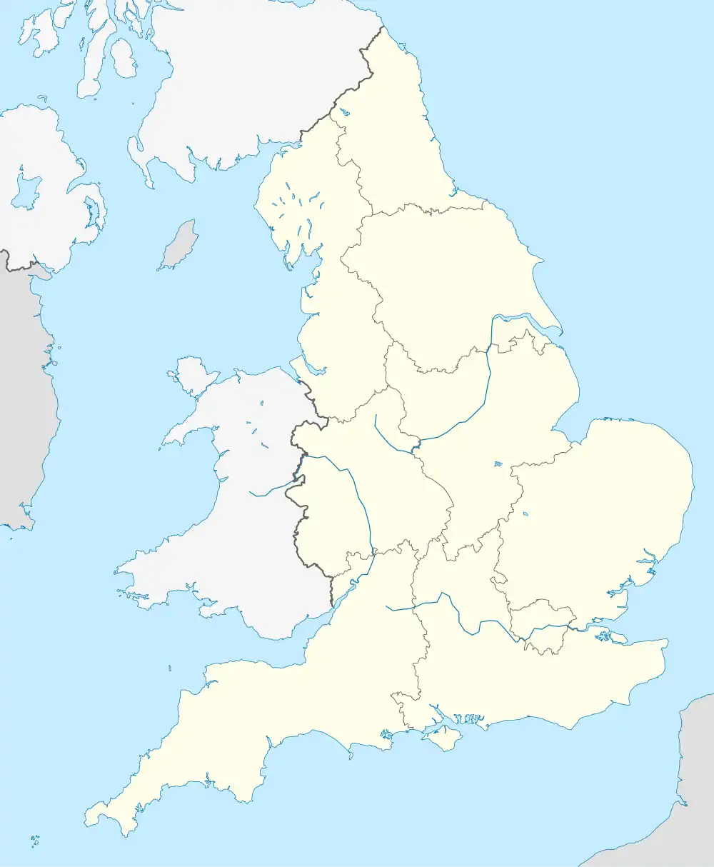
Stoborough
Stoborough ist ein kleines Dorf innerhalb des Civil parishs Arne auf der Isle of Purbeck, einer Halbinsel in der Grafschaft Dorset im Süden von England.
| Stoborough | |||
|---|---|---|---|
| Koordinaten | 50° 40′ N, 2° 7′ W | ||
| |||
| Traditionelle Grafschaft | Dorset | ||
| Verwaltung | |||
| Post town | Wareham (Dorset) | ||
| Postleitzahlenabschnitt | BH20 | ||
| Vorwahl | 1929 | ||
| Landesteil | England | ||
| Region | South West England | ||
| Zeremonielle Grafschaft | Dorset | ||
| Unitary authority | Dorset | ||
| Website: keine | |||
Stoborough liegt an der Hauptstraße A351 von Lytchett Minster nach Swanage etwa 1 Kilometer südlich von Wareham, etwa 4 Kilometer westlich von Arne, etwas nördlich von Stoborough Green und 7 Kilometer nordwestlich vom Dorf Corfe Castle und der Burgruine Corfe Castle. Das Dorf Stoborough liegt südlich des Flusses Frome.
Weblinks
Commons: Stoborough – Sammlung von Bildern, Videos und Audiodateien
This article is issued from Wikipedia. The text is licensed under Creative Commons - Attribution - Sharealike. The authors of the article are listed here. Additional terms may apply for the media files, click on images to show image meta data.
