Stearns Pond
Der Stearns Pond ist ein Teich westlich der Stadt Mont Vernon im US-Bundesstaat New Hampshire.
| Stearns Pond | ||
|---|---|---|
| Geographische Lage | Mont Vernon, New Hampshire, USA | |
| Abfluss | Hartshorn Brook → Souhegan River | |
| Daten | ||
| Koordinaten | 42° 53′ 42,1″ N, 71° 41′ 0,7″ W | |
| ||
| Fläche | 3,2 ha | |
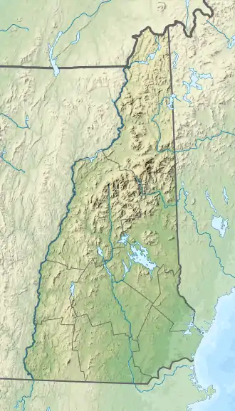
Seine Wasserfläche beträgt etwa 3,2 Hektar. Er ist Quellgebiet des Hartshorn Brook, der in südlicher Richtung zum Souhegan River fließt.
Weblinks
This article is issued from Wikipedia. The text is licensed under Creative Commons - Attribution - Sharealike. The authors of the article are listed here. Additional terms may apply for the media files, click on images to show image meta data.