Siglin Rocks
Die Siglin Rocks sind eine 140 m hohe, isolierte Felsformation an der Bakutis-Küste des westantarktischen Marie-Byrd-Lands. Sie liegen auf halbem Weg zwischen dem Schneider Rock und den Binder Rocks auf der Westseite der Martin-Halbinsel.
| Siglin Rocks | ||
|---|---|---|

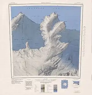
Topographisches Kartenblatt Martin Peninsula mit den Siglin Rocks, 1:250.000 | ||
| Höhe | 140 m | |
| Lage | Marie-Byrd-Land, Westantarktika | |
| Koordinaten | 74° 11′ 0″ S, 115° 6′ 0″ W | |
| ||
Erste Luftaufnahmen der Formationen fertigte die United States Navy im Januar 1947 bei der Operation Highjump (1946–1947) an. Das Advisory Committee on Antarctic Names benannte sie 1967 nach Chief Warrant Officer Daniel Francis Siglin (1930/31–2014) von der US Navy, Koordinator für den Unterhalt des Flugfelds Williams Field nahe der McMurdo-Station während der Operation Deep Freeze des Jahres 1967.
Weblinks
- Siglin Rocks im Geographic Names Information System des United States Geological Survey (englisch)
- Siglin Rocks auf geographic.org (englisch)
This article is issued from Wikipedia. The text is licensed under Creative Commons - Attribution - Sharealike. The authors of the article are listed here. Additional terms may apply for the media files, click on images to show image meta data.
