Seshote
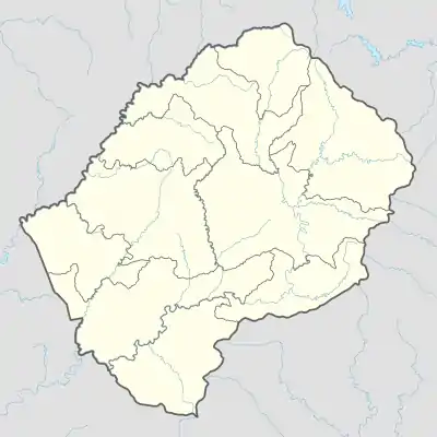
Seshote, auch Ha Seshote, ist ein Ort im Distrikt Leribe in Lesotho im südlichen Afrika.
| Seshote | |||
|---|---|---|---|
| |||
| Koordinaten | 29° 16′ S, 28° 33′ O | ||
| Basisdaten | |||
| Staat | Lesotho | ||
| Leribe | |||
| Höhe | 2180 m | ||
Geographie
Seshote liegt in den Maloti-Bergen westlich des etwa von Nord nach Süd fließenden Matsoku, einem Nebenfluss des Malibamatšo. Nahe dem Ort grenzen die Distrikte Mokhotlong und Thaba-Tseka an den Leribe-Distrikt.
Seshote ist auch der Name des Community Councils, in dem der Ort liegt. Das Community Council hatte 2006 9693 Einwohner.[1]
Wirtschaft und Infrastruktur
Seshote ist landwirtschaftlich orientiert. Es gibt eine römisch-katholische Missionsstation sowie den Flugplatz Seshutes (ICAO-Code FXSS, IATA-Code SHZ).[2] Seshote liegt an der A25, die von Hlotse bis zur A3 bei Thaba-Tseka führt. Im Rahmen des Lesotho Highland Water Project soll eine weitere asphaltierte Straße von Seshote zum geplanten Polihali Dam führen.[3]
Einzelnachweise
- Information Handbook 1/2009: Leribe District. pitsong.org (englisch; PDF)
- Seshutes. world-airport-codes.com (englisch), abgerufen am 3. Mai 2020
- Resettlement action plan summary for Lesotho Highland Water Project Phase II. afdb.org, 2019 (englisch; PDF)
