Scharon Bluff
Das Scharon Bluff ist ein 1000 m hohes und steiles Felsenkliff an der Pennell-Küste des ostantarktischen Viktorialands. Es ragt an der Südseite des Tapsell Foreland auf und überragt 15 km westlich des Kap Moore die Nordflanke des Barnett-Gletschers.
| Scharon Bluff | ||
|---|---|---|
| Lage | Viktorialand, Ostantarktika | |
| Teil des | Transantarktischen Gebirges | |
| ||
| Koordinaten | 70° 58′ S, 167° 24′ O | |
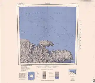 Topografische Karte mit dem Scharon Bluff (rechts unten) Topografische Karte mit dem Scharon Bluff (rechts unten) | ||

Der United States Geological Survey kartierte es anhand eigener Vermessungen und Luftaufnahmen der United States Navy aus den Jahren von 1960 bis 1963. Das Advisory Committee on Antarctic Names benannte es im Jahr 1970 nach LeRoy H. Scharon (1915–2004), der im antarktischen Winter 1968 als US-amerikanischer Austauschwissenschaftler auf der sowjetischen Molodjoschnaja-Station tätig war.
Weblinks
- Scharon Bluff im Geographic Names Information System des United States Geological Survey (englisch)
- Scharon Bluff auf geographic.org (englisch)
This article is issued from Wikipedia. The text is licensed under Creative Commons - Attribution - Sharealike. The authors of the article are listed here. Additional terms may apply for the media files, click on images to show image meta data.