Sapu Island
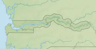
Sapu Island ist eine Binneninsel im Gambia-Fluss im westafrikanischen Staat Gambia.[1]
| Sapu Island | ||
|---|---|---|
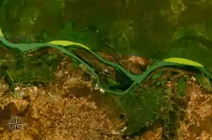
 NASA-World-Wind-Satellitenbild: Der Gambia fließt hier im Bildausschnitt in westlicher Richtung. Der Gambia fließt hier im Bildausschnitt in westlicher Richtung. | ||
| Gewässer | Gambia (Fluss) | |
| Geographische Lage | 13° 32′ 47″ N, 14° 51′ 50″ W | |
| ||
| Länge | 1,1 km | |
| Breite | 340 m | |
| Einwohner | unbewohnt | |
Geographie
Sapu Island liegt ungefähr zwölf Kilometer flussabwärts von Janjanbureh Island und liegt unmittelbar 150 Meter vor den Kai Hai Islands. Die flache, aus Schwemmland bestehende Insel ist ungefähr 1100 Meter lang und 340 Meter breit. Auf der linken Flussinsel ist ein ungefähr 90 Meter breiter Kanal.
Die Insel, in der Nähe des Ortes Brikama Ba gelegen, ist nicht bewohnt. Zahlreiche Vogelarten sind auf der Inselgruppe zu finden.
Siehe auch
Weblinks
- Islands of the Central River Division http://www.birdlife.org
- Gambianbirds.com
Einzelnachweise
- Stephen C. Stringall, Dody Broyles: Gambia. International Travel Maps, Vancouver 2003, ISBN 1-55341-217-6 (Landkarte, 96 × 61 cm, 1:350.000)
This article is issued from Wikipedia. The text is licensed under Creative Commons - Attribution - Sharealike. The authors of the article are listed here. Additional terms may apply for the media files, click on images to show image meta data.
