Safaʻatoa
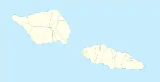
Safaʻatoa ist eine Siedlung im politischen Bezirk (itūmālō) Aʻana des Inselstaats Samoa auf der Insel Upolu.
| Safaʻatoa Safaʻatoa | |||
|---|---|---|---|
| |||
| Koordinaten | 13° 57′ S, 171° 58′ W | ||
| Basisdaten | |||
| Staat | Samoa | ||
| Aʻana | |||
Geographie
Er liegt an der Südküste der Insel zwischen den Siedlungen Tafagamanu und Faleaseela am Eingang der Lefaga Bay.[1] Es gibt die Kirche CCCS Safaatoa Tai.
Einzelnachweise
This article is issued from Wikipedia. The text is licensed under Creative Commons - Attribution - Sharealike. The authors of the article are listed here. Additional terms may apply for the media files, click on images to show image meta data.
